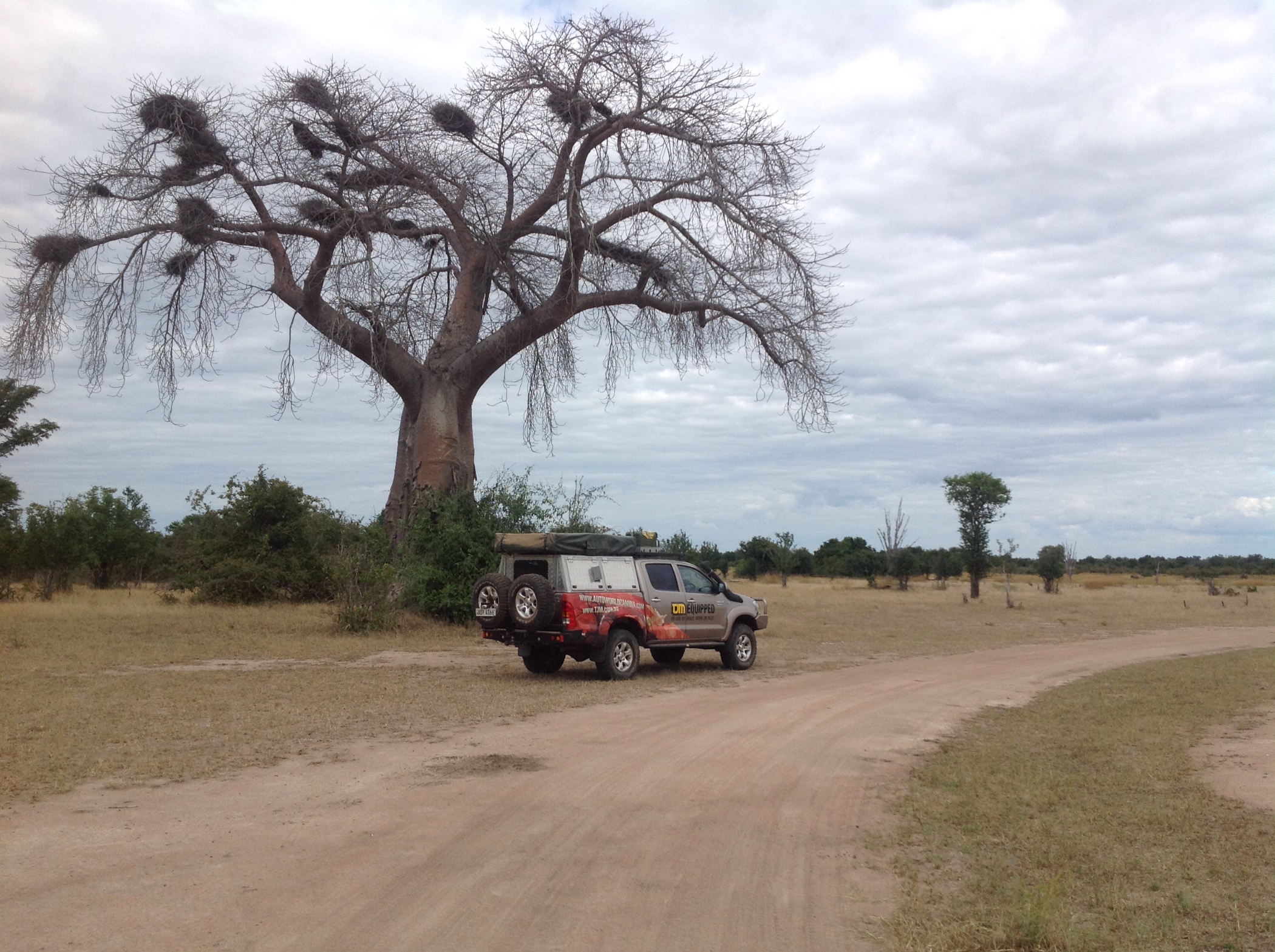
 It's been a few months since I smelt the fresh air of the Zambian bush. For Easter I decided to take my family to South Luangwa National Park, a place I have never visited before. I quickly loaded my car the night before we started the 10 hour journey. Once I had all the family in the car and ensured we had all the essentials for the weekend I turned on my Garmin Montana 650 GPS equipped with Tracks4Africa Maps. The GPS gave me the full route we were to travel to the bush camp including the arrival times that were all spot on. We spent the next few days driving on our own through the South Luangwa Park without any fear of taking a wrong track or getting lost. This was due to the fact that we had every detail of all the game viewing roads in the park including the points of interest such as scenic spots and view points all displayed on the Tracks4Africa Maps.
The Tracks4Africa Maps is a map that is specifically designed for outdoor enthusiasts traveling through Africa. It includes a lot of detail of all the important points of interests in towns and cities. It also has details of all the lodges and campsites and all the information that would be beneficial to those travelers like me that just love to be on and off-road exploring. Tracks4Africa Maps also has most of the rivers and lakes including river tracks where a boat could easily find its way through rocky or sandy parts of the rivers.
The Tracks4Africa Maps are available at the Autoworld Downtown branch in Lusaka along with a wide range of Garmin GPS units. If you love the outdoors and want to ensure you that you never miss the “bush highlights”, then visit Downtown and get yourself equipped for your next adventure…
If you've enjoyed this post and want to read about more of my 4x4 adventures, check out the Explore Zambia category within the news section on the Autoworld website.
Happy adventures!
David Findlay
28° Partly Cloudy Chipata, Zambia